Drawn Wrong, Kept Forever: The Surveying Blunder That Moved Hundreds of Families Into a Different State Overnight
Imagine going to bed in Kentucky and waking up in Tennessee. Not because you moved. Not because you drove anywhere. Just because, somewhere in a courthouse archive, a very old piece of paper had the wrong numbers on it.
That is, more or less, exactly what happened to dozens of families along the Kentucky-Tennessee border — and the story of how it unfolded, how it was discovered, and why the wrong line is still the official line today is one of the more quietly ridiculous chapters in American administrative history.
A Line That Had to Be Drawn
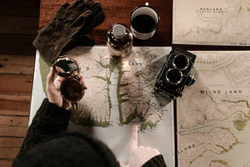
Establishing state boundaries in early America was hard, unglamorous work. Surveyors pushed into dense wilderness with compasses, chains, and notebooks, trying to translate legal descriptions written by politicians who had never set foot in the terrain they were dividing. The boundary between Kentucky and Tennessee was supposed to run along the 36th parallel — a clean, logical latitude line that looked simple enough on paper.
 Photo: 36th parallel, via www.cheatsheet.com
In practice, measuring a precise latitude in the field, across mountains and river valleys and heavily forested ridgelines, required instruments that were sensitive, calculations that were exacting, and surveyors who were, ideally, clearheaded. The crews who worked the Kentucky-Tennessee line in the early nineteenth century were operating under conditions that made all three of those requirements difficult to guarantee simultaneously.
The result was a boundary that drifted. In some stretches, the line ran as much as several miles north of where it was legally supposed to be. Farms, homesteads, and small settlements that residents believed sat in one state were, by strict geographic definition, inside the other.
For a while, nobody noticed. Or rather, nobody with authority noticed. The people actually living on the land probably had a vague sense that something was off — their nearest courthouse might have been inconveniently far, their tax collector might have seemed confused about jurisdiction — but in an era before GPS, satellite imagery, or routine boundary audits, the line on the ground was the line that mattered. The line on the map could wait.
When the Math Got Re-Done
The error surfaced the way most bureaucratic disasters do: slowly, then all at once. Re-surveys conducted later in the nineteenth century, using improved instruments and more rigorous methods, revealed the discrepancy with uncomfortable clarity. The official boundary and the surveyed boundary did not match. In some locations, the gap was significant enough to encompass entire farming communities.
This created a problem that was equal parts legal, political, and deeply personal. Families who had paid taxes to Kentucky for generations suddenly learned they might owe back taxes to Tennessee. Land titles recorded in one state's deed books were potentially invalid because the property sat, technically, in the other state's jurisdiction. Court cases decided under one state's law might need to be relitigated under another's. Marriages recorded in one county courthouse existed in a kind of administrative limbo.
Property lawyers on both sides of the border had what was probably the most profitable few years of their careers.
The Fix That Was Worse Than the Problem
Here is where the story tips from merely strange into genuinely absurd. When officials from both states sat down to discuss correcting the boundary to its proper location, they quickly realized that doing so would cause more disruption than the original mistake. Moving the line to the true 36th parallel would legally transfer land, invalidate recorded titles, reassign tax obligations, and potentially reopen settled court cases going back decades.
The people living in the affected areas — who had built homes, raised families, and organized their entire civic lives around the assumption that they lived where the old survey said they lived — would bear the cost of a correction they had nothing to do with causing.
So both states made a pragmatic, if philosophically uncomfortable, decision: keep the wrong line.
Legislatures on both sides passed agreements effectively ratifying the surveyor's error as the official boundary. The incorrect line was codified, recorded, and defended as the real one, not because anyone believed it was geographically accurate, but because accuracy, at that point, had become the least important thing on the table.
What It Actually Means
There is something almost philosophical about a boundary that everyone agrees is wrong but nobody is willing to move. State lines, after all, are not physical things. They do not exist in the ground or the air. They exist in documents, in agreements, in the shared understanding of the people they govern. When that shared understanding calculates to the wrong latitude, and enough time passes, the wrong latitude becomes the real one.
The families who found themselves legally relocated overnight did not experience any change in their daily lives. Their land looked the same. Their neighbors were the same. The hills did not move. Only the paperwork changed — and then, after enough argument, even the paperwork changed back.
The surveyor's error, whatever its cause, was absorbed into the permanent record of the American landscape. Two states drew a line in the wrong place, argued about it, and then agreed to pretend it was right all along.
Somewhere, a very old notebook full of incorrect measurements is probably still sitting in an archive, its numbers dutifully recorded, its mistakes officially enshrined.
And the line it drew is still there.