Lost on the Prairie: The Wrong Turn That Built a Town Still Standing Today
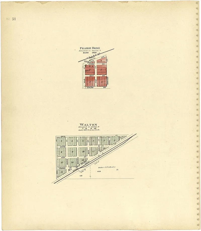
Photo: Brown-Scoville Publishing Company, Public domain, via Wikimedia Commons
There's a version of American history that runs on intention — bold settlers with clear plans, government surveys drawn in clean lines, towns plotted on paper before the first nail was driven. It's a tidy story. It's also, fairly regularly, not quite what happened.
What actually built a significant chunk of the American interior was improvisation. Wrong turns. Bad maps. Surveyors who were working from incomplete data on terrain they'd never walked. And occasionally, a group of settlers who arrived somewhere they hadn't planned to be, looked around, and decided it would do.
The town of Millard Creek, Nebraska — population just over 800 today, incorporated 1904 — exists entirely because of one mislabeled survey stake and the practical decision-making of about forty exhausted people who were done traveling.
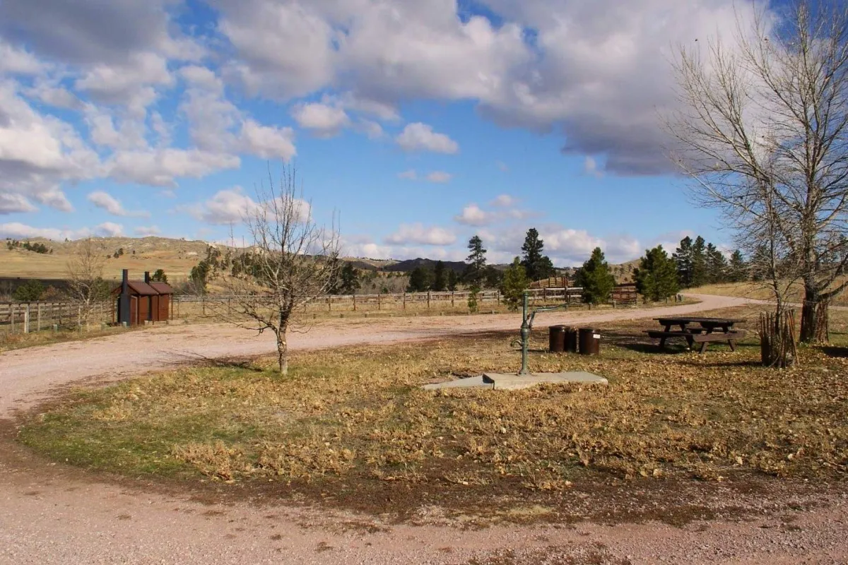 Photo: Millard Creek, Nebraska, via www.touristsecrets.com
The Plan That Made Perfect Sense on Paper
In the early 1900s, the federal government was still actively encouraging settlement of Nebraska's interior through a combination of land grants, survey programs, and promotional literature that described the region in terms most current residents would find optimistic. A group of settlers from eastern Ohio, organized loosely through a church community network, had arranged to claim a plotted parcel in a designated settlement zone in what is now Holt County.
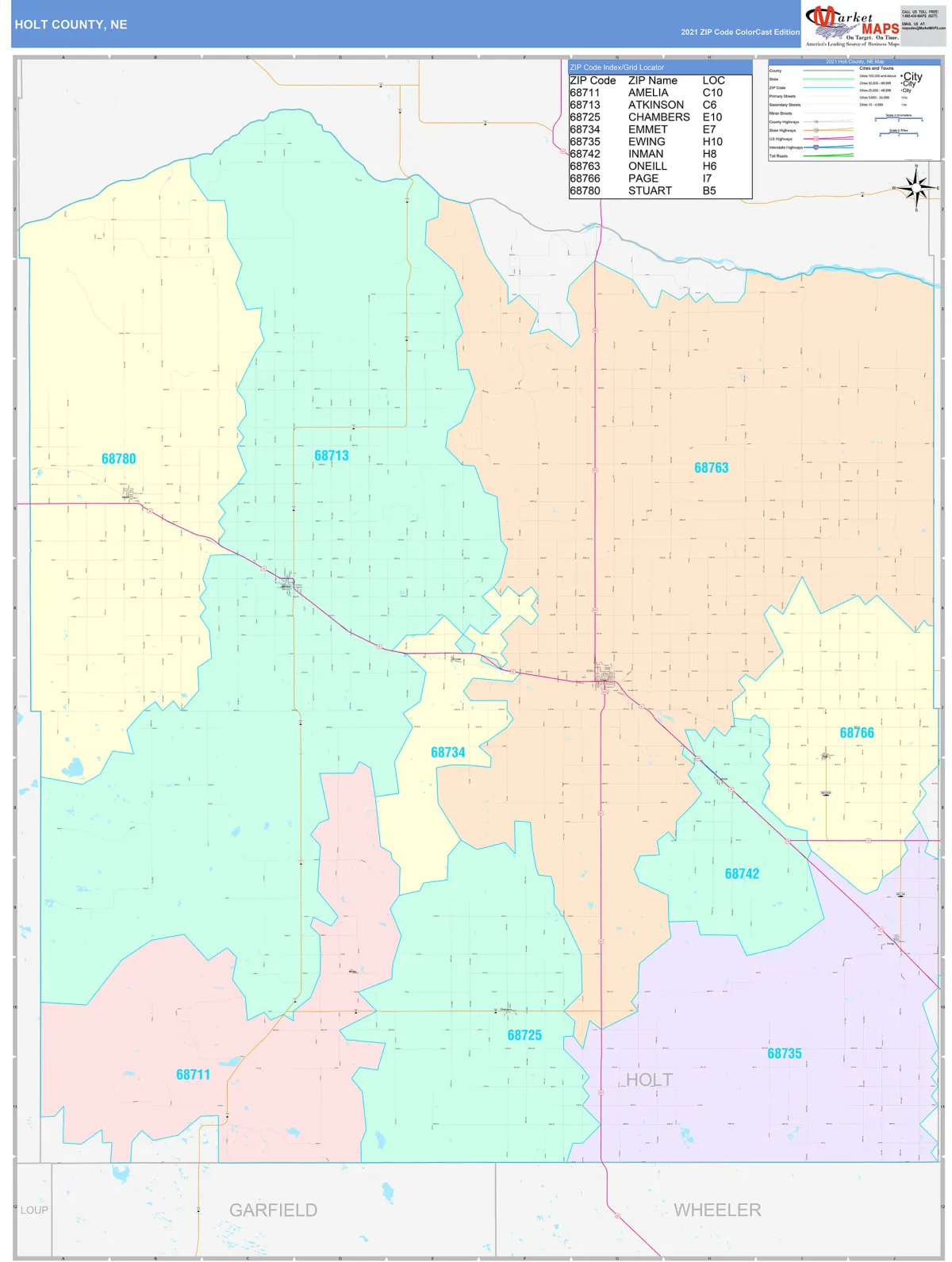 Photo: Holt County, via www.mapsales.com
The parcel had been surveyed, mapped, and assigned a designation on government charts. The settlers had paperwork. They had a contact at the regional land office. They had a planned route that would take them from the nearest rail terminus overland to their designated location, guided by a series of government survey markers that had been placed to help settlers navigate the largely featureless terrain.
This was, by the standards of 1903, a well-organized operation.
The Marker That Wasn't Where It Said It Was
The survey marker system worked, in theory, by giving settlers fixed reference points they could use to triangulate their position and confirm their route. In practice, the markers were placed by survey teams working quickly across enormous distances, and errors were not uncommon. Markers were sometimes placed at incorrect coordinates. They were sometimes mislabeled. They were sometimes both.
The marker the Ohio settlers used to confirm their bearing on the third day of overland travel was, according to later analysis by the state land office, mislabeled. The designation on the stake corresponded to a location approximately nine miles northeast of where the stake actually stood.
The settlers, trusting the marker, adjusted their route accordingly. They traveled in the direction that a correct marker would have indicated. They arrived, after another day and a half of travel, at a location that was — by their reckoning — their intended destination.
It was not their intended destination. It was a creek valley about eleven miles from their plotted parcel, in a county subdivision they had no claim on and no paperwork for.
The Moment Someone Said 'Close Enough'
The settlers apparently knew something was off fairly quickly. The terrain didn't match their descriptions precisely. A member of the group who had corresponded extensively with the land office noted that the creek running through the valley wasn't on his maps of the original parcel.
But it was late October. They had children with them. They had livestock. They had been traveling for weeks. And the valley, whatever it was, had water, shelter from the wind, and soil that looked workable.
According to a letter written by one of the settlers, Margaret Holst, to her sister in Ohio and preserved by her descendants: "We spent one evening discussing whether to push on or stay, and by morning the question had answered itself. Nobody wanted to leave. The creek is good and the ground is flat. We will find out whose land this is and make it right with them."
They filed amended land claims through the regional office the following spring. The land office, after some back-and-forth about the survey error (which was eventually acknowledged as a federal mapping mistake), approved the claims. The community incorporated as Millard Creek in 1904, named for the waterway they'd stumbled onto.
What Happened to Where They Were Actually Going
The original plotted parcel — the one they'd planned to settle — was eventually claimed by a different group of settlers in 1906. That settlement was called Harwick Crossing, and it operated as a small farming community for about fifteen years before a combination of drought, poor soil drainage, and a railroad line that went elsewhere caused it to depopulate. By the 1930s, Harwick Crossing had ceased to function as a community. Today, there's no incorporated municipality there, and the location is farmland.
Millard Creek, meanwhile, kept going. The creek valley that looked promising in October 1903 turned out to be genuinely good agricultural land. The community grew steadily through the early twentieth century, built a school, a grain elevator, a post office. It survived the Dust Bowl years better than many surrounding communities because the creek provided a degree of irrigation resilience that the original parcel likely wouldn't have.
The Descendants Who Know the Story
Several families in Millard Creek today are direct descendants of the original Ohio settlers. Many of them know the founding story — it's taught informally, passed down at family dinners, occasionally mentioned in the local historical society's materials.
"My great-great-grandmother wrote that letter," said one lifelong resident, a retired schoolteacher, in a conversation with a regional historian in 2018. "We always said we were here because of a wrong turn. I used to think that was embarrassing. Now I think it's the best thing about us."
The survey marker that caused the error is long gone, lost to time and weather like most of its contemporaries. But the community it accidentally planted is still there — a town of 800 people, a school, a grain elevator, a post office — built on the most honest foundation any American town ever had.
Somebody got lost. Somebody decided to stop.
Everything else followed.